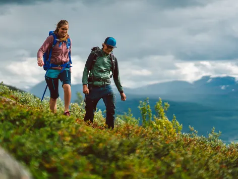
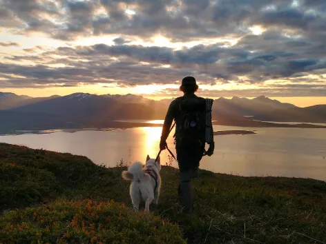
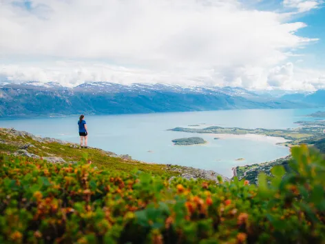
The Tromsø region offers hikes for different abilities, from easy walks near the city to demanding mountain routes. Choose a hike suited to your experience, check current conditions and follow the Norwegian Mountain Code.
When is the hiking season?
The main hiking season usually lasts from June to October, but this varies from year to year and depends on snow and weather conditions. Snow may remain on higher mountains throughout the summer, while some lower coastal routes on the outer side of Kvaløya may become snow-free considerably earlier.
Always check the conditions for your chosen route before setting off. If you are uncertain whether the route is suitable, choose an easier alternative or join a guided hike.
Weather and trail conditions
The weather in the Tromsø region can vary considerably between locations and change quickly. Even if the forecast predicts sunshine and warm temperatures, conditions may become cold, wet or windy at higher elevations.
Check the weather forecast before setting off and be prepared for conditions to change. Yr provide local forecasts.
Rain can make trails wet, muddy and slippery, while dry conditions can leave loose gravel on some paths. Snow and ice may remain in the mountains early and late in the hiking season. Snow can also cover trail markings and conceal streams, holes and uneven ground.
Microspikes may be useful on icy paths, but they are not suitable for every type of mountain terrain. Avoid steep snowfields unless you have the necessary knowledge and equipment. Check Varsom for relevant warnings when snow or avalanche conditions may affect your route.
Do not hesitate to turn back if the weather, trail conditions or difficulty are different from what you expected.
Clothing and footwear
Bring extra clothing, even on warm and sunny days. Pack a warm layer and a windproof and waterproof jacket in case the temperature drops or it starts to rain. Extra socks and a change of clothes can also help you stay warm and dry.
A warm hat and gloves take up little space and can be useful even during summer.
Wear sturdy hiking shoes or boots with good grip. Trails may include wet ground, loose gravel, rocks and slippery sections. Waterproof footwear is often helpful, particularly after rain.
Food and drinking water
Bring enough food for the entire hike, including the return journey. It is also sensible to pack a little extra in case the hike takes longer than expected.
Carry enough drinking water, as suitable water sources may not be available along the route. Do not assume that untreated water from rivers, streams or lakes is safe to drink.
Transport
Some hikes in and around Tromsø are accessible by public transport, while services to rural areas may be limited, particularly at weekends.
Check both the outbound and return journeys before setting off. Make sure you know when the final service leaves and allow enough time to return to the bus stop, ferry terminal or harbour.
Use the Svipper travel planner for current bus, ferry and express boat timetables and traffic updates.
Daylight and darkness
The number of daylight hours varies considerably throughout the year. During the midnight sun season, from late May to late July, the sun remains above the horizon throughout the night. The weeks before and after this period also have long hours of daylight.
The long summer days make evening hikes possible, but you should still plan the route carefully, check transport options and allow enough time to return safely.
From the middle of August, the evenings gradually become darker. Bring a torch or head torch, as well as a reflector, if there is a possibility that you will still be outside after dark.
Maps and hiking routes
Research your chosen route before setting off. Check its length, elevation, estimated duration and difficulty level, and make sure it is suitable for your experience and current conditions.
Mobile phone coverage can be unreliable outside the city. Download maps for offline use and consider carrying a paper map. Paper maps are available from the Tourist Information and local bookshops.
Maps
- Tromsø Municipality’s outdoor map provides an overview of hiking trails, mountain routes, parking areas, toilets, waste bins and other facilities.
- Norgeskart friluftsliv shows marked trails and your current position. The free app is useful for checking whether you are following the correct route.
- UT.no provides maps, hiking descriptions, difficulty levels and estimated durations. It is also available as an app that displays your current position.
Hiking descriptions
- Tromsø Municipality provides information about hiking areas close to the city, including directions and available facilities.
- Ishavskysten friluftsråd provides downloadable hiking guides and individual route descriptions for Tromsø, Karlsøy, Balsfjord, Storfjord and Lyngen. It also offers information about accessible outdoor routes. The individual route descriptions are available in Norwegian and English, while the hiking guides are only available in Norwegian.
- UT.no provides hiking descriptions, maps, difficulty levels, distances and estimated durations for routes throughout Norway.
- Kugo is an independent hiking blog with detailed descriptions and photographs of mountain hikes in Troms. The stated hiking times may be faster than most visitors should expect, so allow additional time.
- Ti på topp is an annual hiking challenge featuring a selection of routes. Paid registration may be required to access the complete hiking descriptions.
- 5 turer med Turbo is a child-friendly hiking challenge for children up to the age of 12. Free route descriptions are available for several areas.
- Outdooractive provides hiking suggestions for Tromsø, Senja and other parts of the region. The website is available in several languages.
- Visit Lyngenfjord provides hiking suggestions and a downloadable guide for the Lyngenfjord region in Norwegian, English, German and Kven.
 Tromsø